Catalog Archive
Auction 92, Lot 33

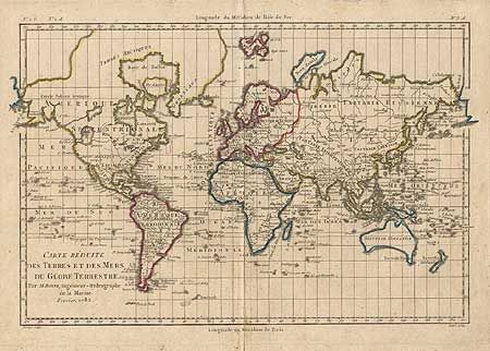
"Carte Reduite des Terres et des Mers du Globe Terrestre", Bonne, Rigobert
Subject: World

Period: 1782 (dated)

Publication:

Color: Hand Color

Size:
12.5 x 8.5 inches
31.8 x 21.6 cm
Download High Resolution Image
(or just click on image to launch the Zoom viewer)

Simple copper engraved map of the world on Mercator's projection. Alaska is just beginning to take shape, following the discoveries of Capt. Cook, and the Sandwich Islands are named. The Sea of the West still remains in North America, as well as another spurious river and lake system alluding to a Northwest Passage.

References:

Condition: B

Separation on bottom fold, just entering border, else fine.

Estimate: $275 - $325

Sold for: $350

Closed on 9/13/2000

Archived