Catalog Archive
Auction 92, Lot 260
"Le Danemarc Suivant les Nouvelles Observations… [on sheet with] La France Suivant les Nouvelles Observations…", Aa, Pieter van der
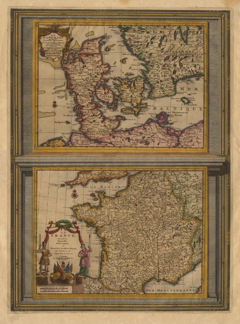
Subject: Denmark and France
Period: 1713 (published)
Publication:
Color: Hand Color
Size:
11 x 8.5 inches
27.9 x 21.6 cm
Download High Resolution Image
(or just click on image to launch the Zoom viewer)
(or just click on image to launch the Zoom viewer)