Catalog Archive
Auction 92, Lot 234

"[Atlantic]", Bry, Theodore de
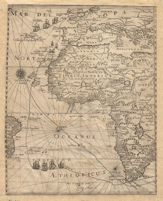
Subject: Atlantic

Period: 1601 (circa)

Publication: Petits Voyages

Color: Black & White

Size:
11 x 14 inches
27.9 x 35.6 cm
Download High Resolution Image
(or just click on image to launch the Zoom viewer)

This is one sheet of a two part map titled "Descriptio Hydrographica Eygentliche vnd ausfvrliche…", this being the untitled sheet. It covers nearly all of Africa, parts of Europe and the coast of Brazil. The map details the most influential Dutch voyage to the East Indies under the command of Cornelis de Houtman in 1595. The outward and homeward routes of the fleet are shown from Holland through the Atlantic and around the Cape of Good Hope, each graphically depicted with engravings of the ships. The coastlines are filled with placenames, while the interior of Africa conforms to the Ptolemaic design. It is a fine example of de Bry's engraving style with a large compass rose and rhumb lines.

References:

Condition: A

The map has been expertly re-margined and backed with Japanese tissue. The restoration may also include facsimile of the neatlines and latitudes, but if so, it is so well done that it is difficult to discern.

Estimate: $1,600 - $1,800

Sold for: $800

Closed on 9/13/2000

Archived