Catalog Archive
Auction 92, Lot 150
"A Chart of the North West Coast of America and North East Coast of Asia…", Hogg, Alexander
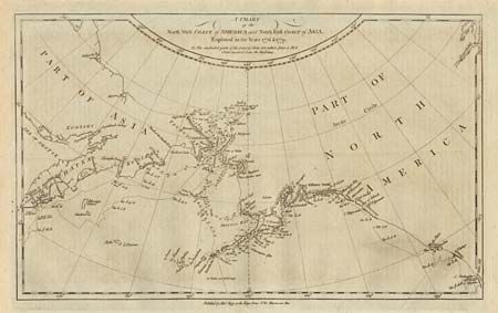
Subject: Alaska
Period: 1786 (published)
Publication: A New Authentic and Complete Collection of Voyages Round the World
Color: Black & White
Size:
14 x 8.5 inches
35.6 x 21.6 cm
Download High Resolution Image
(or just click on image to launch the Zoom viewer)
(or just click on image to launch the Zoom viewer)