Catalog Archive
Auction 92, Lot 107

"Carte du Canada et des Contrees Limitrophes, formant la suite du Theatre de al Guerre dans L'Amerique Septentrionale", Brion de la Tour, Louis

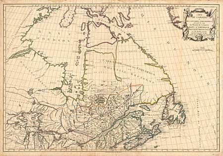
Subject: Canada and United States

Period: 1784 (dated)

Publication:

Color: Hand Color

Size:
29.7 x 20.2 inches
75.4 x 51.3 cm
Download High Resolution Image
(or just click on image to launch the Zoom viewer)

A scarce, large map of eastern Canada and the Great Lakes region. The map is based on French sources including d'Anville and Bellin. Lake Superior is shown with its fictitious islands and there is a double range of mountains in Michigan. Attractive title cartouche. Louis Brion de la Tour was a military engineer and engraver to the King of France. This is one of his separately issued maps, probably included in a composite atlas. It is rarely seen on the market.

References: Kershaw #381.

Condition: B

Separation on bottom fold just entering border and a bit of minor foxing else very good.

Estimate: $4,500 - $5,000

Sold for: $3,750

Closed on 9/13/2000

Archived