Catalog Archive
Auction 91, Lot 50

"Polus Arcticus cum vicinis regionibus",
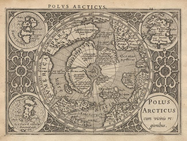
Subject: North Pole

Period: 1607-21 (published)

Publication: Atlas Minor

Color: Black & White

Size:
7.2 x 5.2 inches
18.3 x 13.2 cm
Download High Resolution Image
(or just click on image to launch the Zoom viewer)

This is a reduced version of the second state of Mercator's famous North Pole map. It depicts the region between the pole and the arctic circle. It is one of the most intriguing early maps, combining medieval geographic concepts with some of the most advanced cartography of its day. The north pole is shown as a rocky island surrounded by 'indrawing seas' between four huge islands. The map shows an awareness of recent discoveries, including those of Frobisher and Davis, as well as the northern sea passage through America to Asia. It is a striking example of baroque engraving, with the map set off by the roundel title cartouche and inset maps of the Faeroes, the Shetlands and the mythical Frisland in the corners, and framed by a border of interlocking acanthus designs. Latin text on verso. Ref: Burden #154.

References:

Condition: A

Estimate: $350 - $400

Sold for: $300

Closed on 6/14/2000

Archived