Catalog Archive
Auction 91, Lot 165
"Lake Superior and the Northern Part of Michigan"
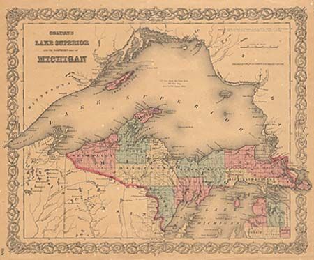
Subject: Michigan
Period: 1855 (dated)
Publication:
Color: Hand Color
Size:
15.9 x 13 inches
40.4 x 33 cm
Download High Resolution Image
(or just click on image to launch the Zoom viewer)
(or just click on image to launch the Zoom viewer)