Catalog Archive
Auction 89, Lot 92
"Colton's United States Shewing the Military Stations, Forts &c."
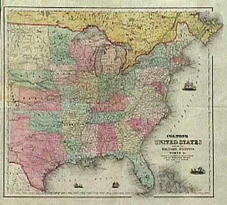
Subject: Eastern United States
Period: 1861 (dated)
Publication: The Rebellion Record
Color: Hand Color
Size:
15.5 x 14.5 inches
39.4 x 36.8 cm
Download High Resolution Image
(or just click on image to launch the Zoom viewer)
(or just click on image to launch the Zoom viewer)