Catalog Archive
Auction 89, Lot 160

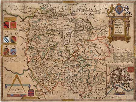
"The County of Hereford resurveyed & enlarged",

Subject: England

Period: 1665 (dated)

Publication:

Color: Hand Color

Size:
19.5 x 14.7 inches
49.5 x 37.3 cm
Download High Resolution Image
(or just click on image to launch the Zoom viewer)

Uncommon and very decorative county map filled with detail of the towns, forests, mountains and roads. Inset of the city of Hereford which was besieged by the Scot army in 1644. Large title cartouche with figures and the royal coat of arms, scale of miles with large calipers and six coats of arms further embellish the map. This map is from one of the Lea editions of Saxton's maps (1689-93) amended to included roads, town plans and much greater detail. Closely trimmed nearly to neatlines as is common with these maps. Mildly acid burned on verso with a recent expert repair of a short split on top fold.

References:

Condition: B

Estimate: $600 - $700

Sold for: $450

Closed on 12/8/1999

Archived