Catalog Archive
Auction 89, Lot 136
"A Map of Martinico from the latest and best Authorities"
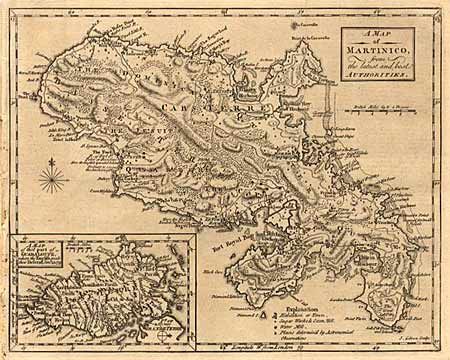
Subject: Caribbean
Period: 1759 (published)
Publication: Gentleman's Magazine
Color: Black & White
Size:
9.5 x 7.2 inches
24.1 x 18.3 cm
Download High Resolution Image
(or just click on image to launch the Zoom viewer)
(or just click on image to launch the Zoom viewer)