Catalog Archive


Auction 88, Lot 92
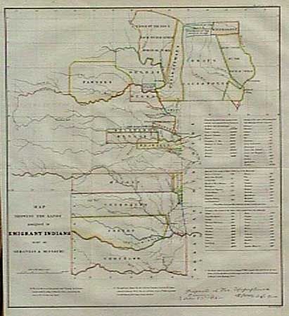
"Map Showing the Lands Assigned to Emigrant Indians West of Arkansas & Missouri"

Subject: Central United States
Period: 1860 (published)
Publication: ASP Military Affairs, Vol. VI
Color: Hand Color
Size:
17.7 x 18.7 inches
45 x 47.5 cm
Download High Resolution Image
(or just click on image to launch the Zoom viewer)
(or just click on image to launch the Zoom viewer)