Catalog Archive
Auction 88, Lot 69

"Map of the Northern Pacific Railway and the Tributary Country",

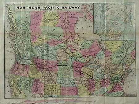
Subject: United States and Canada

Period: 1875 (circa)

Publication: National Railway Publication Co.

Color: Hand Color

Size:
28 x 21 inches
71.1 x 53.3 cm
Download High Resolution Image
(or just click on image to launch the Zoom viewer)

Colorful and impressive map of the railway systems between the Atlantic and Pacific Oceans, north of the 35th parallel, including most of Canada. Large inset, on a north polar projection, showing the intercontinental routes, ocean currents and steamboat lines around the world. Profiles of the Northern Pacific and the Central-Union Pacific railroads are contrasted to a scale below the main map. Grazing lands, mines, coal fields, buffalo ranges, timber stands and much other interesting information. Unfolded and backed with Japanese tissue.

References:

Condition: A+

Estimate: $200 - $250

Sold for: $350

Closed on 10/2/1999

Archived