Catalog Archive
Auction 88, Lot 434

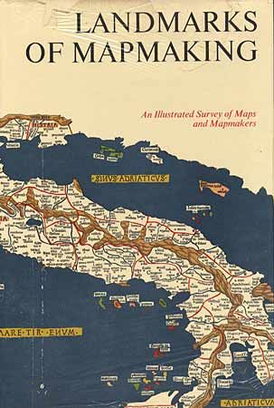
"Landmarks of Mapmaking: An Illustrated Survey of Maps and Mapmakers", Bricker, Charles

Subject: Cartographic Reference

Period: 1968 (published)

Publication: Elseveir, International Book Society

Color:

Size:
11 x 16 inches
27.9 x 40.6 cm
Download High Resolution Image
(or just click on image to launch the Zoom viewer)

First edition. Preface by Gerald Roe Crone with maps chosen by R. V. Tooley. 276 pp, over 350 illus, including maps, portraits, title pages and reproductions from early sources, 14 color folding maps, other color illus, bibliography, and index. A standard reference and a beautifully produced and illustrated work covering the development of cartography, the exploration and mapping of Europe, Asia, Africa, the Americas and Australia. Hard bound in beige cloth, gilt lettering, gilt and white compass rose on front cover, pictorial endpapers, dj (some lifting of laminate at top of dj), fine clean crisp copy in very good dj.

References:

Condition: A+

Estimate: $100 - $120

Sold for: $130

Closed on 10/2/1999

Archived