Catalog Archive
Auction 88, Lot 35
"The British Empire", Hughes, William
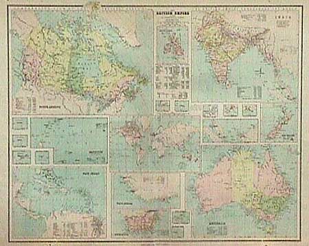
Subject: World
Period: 1878 (dated)
Publication:
Color: Printed Color
Size:
27 x 22 inches
68.6 x 55.9 cm
Download High Resolution Image
(or just click on image to launch the Zoom viewer)
(or just click on image to launch the Zoom viewer)