Catalog Archive
Auction 88, Lot 224
"A Correct Map of the Low Countries Exhibiting the late and present Seat of War in the Austrian & French Netherlands &c.", Anon.
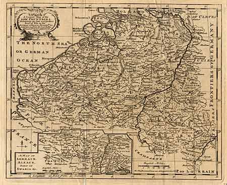
Subject: Belgium, The Netherlands, and Luxembourg
Period: 1747 (published)
Publication: London Magazine
Color: Black & White
Size:
10 x 8.7 inches
25.4 x 22.1 cm
Download High Resolution Image
(or just click on image to launch the Zoom viewer)
(or just click on image to launch the Zoom viewer)