Catalog Archive
Auction 88, Lot 113
"Carte de la Baye de Baston Situee dans la Nouvelle Angleterre", U.S. Coast Survey
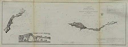
Subject: Massachusetts
Period: 1856 (circa)
Publication: Le Petit Maritime Atlas
Color: Hand Color
Size:
6.2 x 8.2 inches
15.7 x 20.8 cm
Download High Resolution Image
(or just click on image to launch the Zoom viewer)
(or just click on image to launch the Zoom viewer)