Catalog Archive


Auction 88, Lot 103
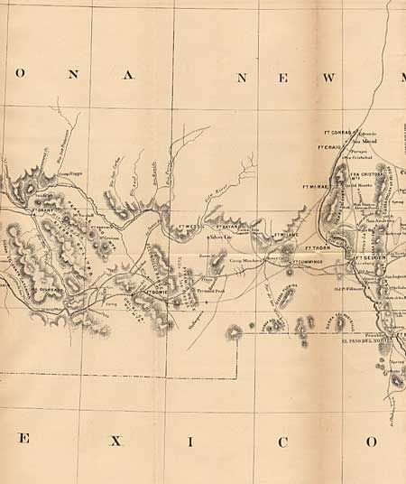
"Outline Map Showing a new route from Texas to Ft Yuma, California, for Cattle Drovers and Trains en route to California", U.S. Geographical Survey

Subject: Southwestern United States
Period: 1870 (circa)
Publication:
Color: Black & White
Size:
14.5 x 49 inches
36.8 x 124.5 cm
Download High Resolution Image
(or just click on image to launch the Zoom viewer)
(or just click on image to launch the Zoom viewer)