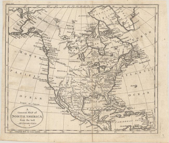
A. A General Map of North America from the Best Authorities, by William Guthrie, circa 1794 (8.8 x 7.4"). This small map of North America shows a mostly blank Great Basin, and a long River of the West extending from the Entrance of Juan de Fuca eastward nearly to the Mississippi River. The map has good watershed detail and names some Indian tribes, forts, etc. Texas is located within the huge Louisiana Territory, but not delineated. Engraved by John Russell. "Plate XXII" engraved at top left. Published in Guthrie's A New Geographical, Historical, and Commercial Grammar. Reference: McCorkle (18th C. Geography Books) #171-21. Condition: Issued folding with minor soiling. (B+)
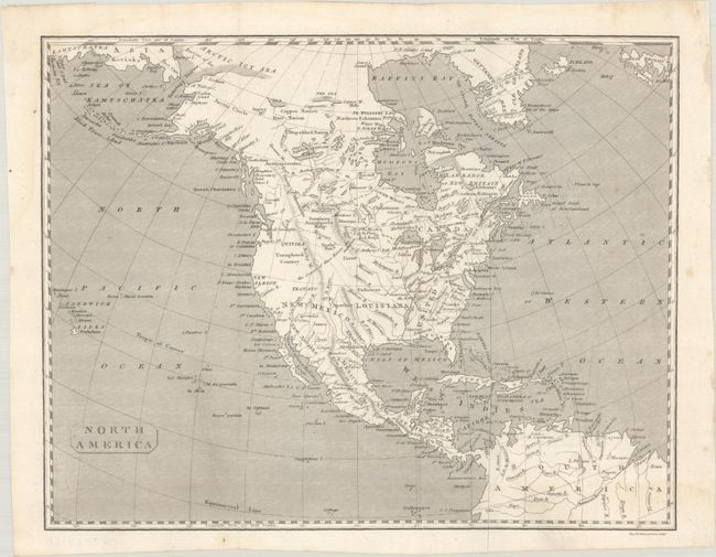
B. North America, by James Kirkwood & Sons, circa 1800 (10.7 x 8.4"). A finely engraved map of North America extending to include the Kamchatka Peninsula and the northern tip of South America. The Untied States' western boundary is along the Mississippi River with a large Louisiana and New Mexico to its west. Issued prior to the Lewis & Clark discoveries, the west is mostly void of detail and marked "Unexplored Country" while a notation across the Rocky Mountains states "the sources of these Rivers are unknown" (the Arkansas, Platte, and Missouri rivers). In South America, the fictitious L. Parime makes an appearance. Condition: Issued folding on a bright sheet. (A)