Catalog Archive


Auction 199, Lot 770
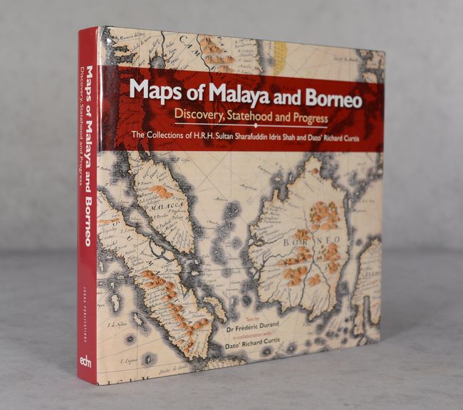
"Maps of Malaya and Borneo - Discovery, Statehood and Progress - The Collections of H.R.H. Sultan Sharafuddin Idris Shah and Dato' Richard Curtis"

Subject: References, Southeast Asia
Period: 2013 (published)
Publication:
Color: Printed Color
Size:
11.6 x 10.9 inches
29.5 x 27.7 cm
Download High Resolution Image
(or just click on image to launch the Zoom viewer)
(or just click on image to launch the Zoom viewer)