Hartmann Schedel's Nuremberg Chronicle (Liber Chronicarum) was published in two editions, Latin and German, both in 1493, appearing in print just before Christopher Columbus' discoveries completely re-shaped the European view of the World. This splendid work presented the history of the world in a pictorial encyclopedia with approximately 285 pages of text and 1,800 woodcut illustrations. Among these illustrations are views of towns and cities throughout Europe and the Near East. The majority of these views are entirely imaginary. In fact, 49 of the views are actually printed from the same group of 14 woodblocks. There are also 30 double-page views of cities with more realistic images. In addition to the topographical images, there are an enormous number of other subjects, including diagrams of the Creation, comets, family trees, portraits & biblical scenes. The text was compiled and edited by Hartmann Schedel, printed by Anton Koberger, with illustrations designed by Michael Wohlgemuth and Willem Pleydenwurff, who cut the woodblocks, probably with the assistance of their apprentice, Albrecht Durer.
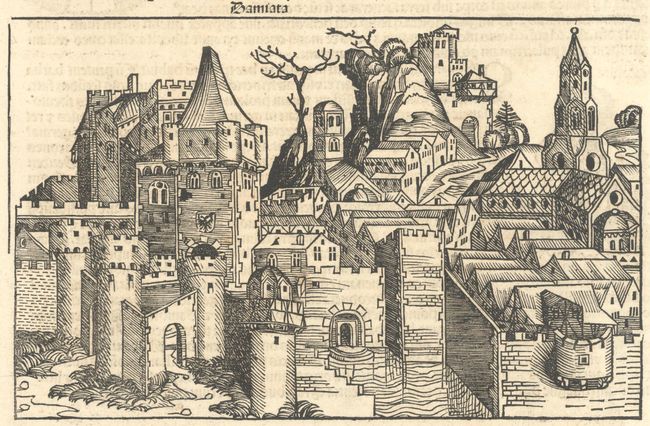
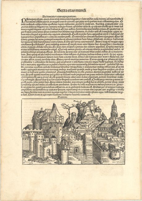
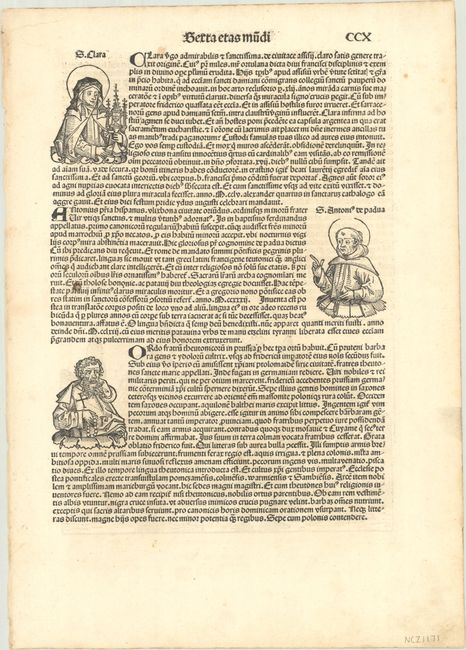
Interesting imaginary view of Damiata, now known as Damietta in Egypt. The city is located on the Nile delta on the Damietta branch of the Nile, close to the Mediterranean Sea. The view is located on the verso on a sheet of Latin text; the recto has text with three small portraits: St. Clare, St. Anthony of Padua, and an unnamed saint. On a full sheet measuring 12.3 x 17.4".
References:
Condition: A
A dark impression with some minor soiling in the margins.