"L'Afrique Dressee Selon les Dernieres Relat. et Suivant les Nouvelles Decouvertes dont les Points Principaux sont Placez sur les Observations de Mrs. de l'Academie Royale des Sciences", Fer, Nicolas de
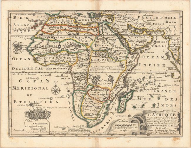
This is the first state of De Fer's depiction of the continent. It features a thickened west coast that expands between the Cape and the Congo, based on his wall map of 1696-98. Unusual islands appear in the Atlantic and Indian oceans, including a mythical second island of St. Helena. Monomotapa is shown in the south. In Central Africa there is text concerning the origin of the Nile in Abyssinia - however the two sub-equatorial Ptolemaic lakes are still shown on the map. The map is graced with a decorative dedication to the Dauphin and a title cartouche featuring lime kilns.
References: Betz #170.1; cf. Norwich #64 (larger version); Pastoureau, FER I A #4.
Condition: B+
Contemporary outline color on paper that has been remargined on all sides. There is some light toning and a bit of staining along the map borders where adhesive was used to create the new margins.