Catalog Archive
Auction 198, Lot 135
"North and South Carolina", Greenleaf, Jeremiah
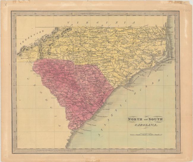
Subject: North Carolina & South Carolina
Period: 1840 (circa)
Publication: A New Universal Atlas...
Color: Hand Color
Size:
12.7 x 10.8 inches
32.3 x 27.4 cm
Download High Resolution Image
(or just click on image to launch the Zoom viewer)
(or just click on image to launch the Zoom viewer)