Catalog Archive
Auction 198, Lot 101
"Outline Map of Indian Localities in 1833", Catlin, George
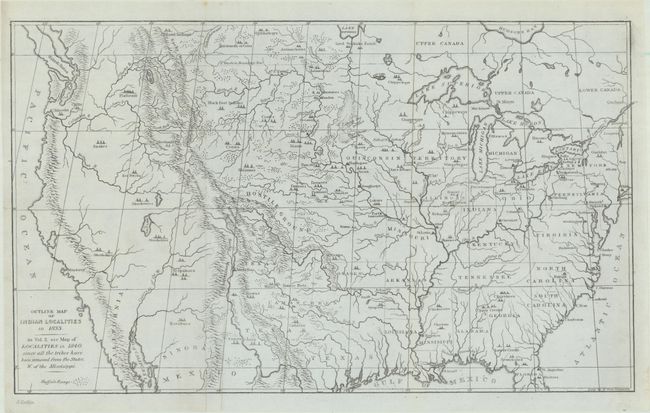
Subject: United States
Period: 1842 (circa)
Publication: Letters and Notes on...American Indians
Color: Black & White
Size:
14.7 x 8.8 inches
37.3 x 22.4 cm
Download High Resolution Image
(or just click on image to launch the Zoom viewer)
(or just click on image to launch the Zoom viewer)