Catalog Archive
Auction 197, Lot 440
"Merionith Comitatus olim Pars Ordovicum", Saxton/Kip
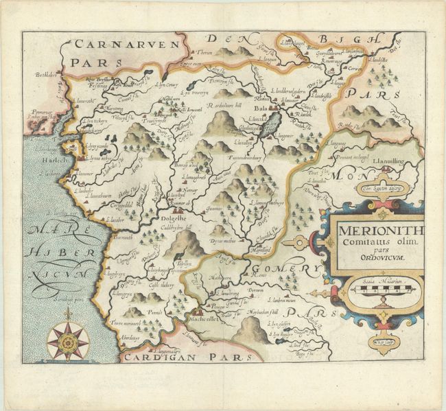
Subject: Northern Wales
Period: 1610 (published)
Publication: Camden's Britannia
Color: Hand Color
Size:
12.7 x 10.4 inches
32.3 x 26.4 cm
Download High Resolution Image
(or just click on image to launch the Zoom viewer)
(or just click on image to launch the Zoom viewer)