Catalog Archive
Auction 197, Lot 351
"Carta de la Isla de la Antigua, Reducida y Gravada", Lopez de Vargas Machuca, Thomas (don)
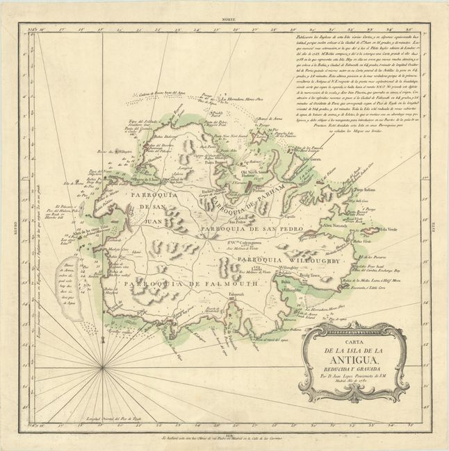
Subject: Antigua
Period: 1780 (dated)
Publication:
Color: Hand Color
Size:
14.9 x 14.9 inches
37.8 x 37.8 cm
Download High Resolution Image
(or just click on image to launch the Zoom viewer)
(or just click on image to launch the Zoom viewer)