Catalog Archive
Auction 197, Lot 347
"Carte des Isles des Vierges", Bellin, Jacques Nicolas
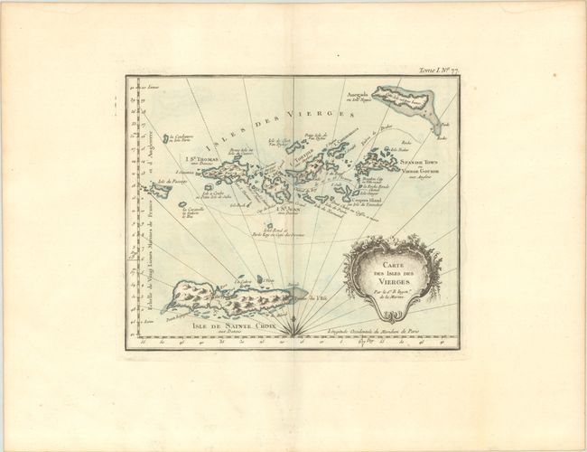
Subject: Virgin Islands
Period: 1764 (circa)
Publication: Le Petit Atlas Maritime…
Color: Hand Color
Size:
9.8 x 8 inches
24.9 x 20.3 cm
Download High Resolution Image
(or just click on image to launch the Zoom viewer)
(or just click on image to launch the Zoom viewer)