Catalog Archive
Auction 197, Lot 141

"United States", Black, Adam & Charles
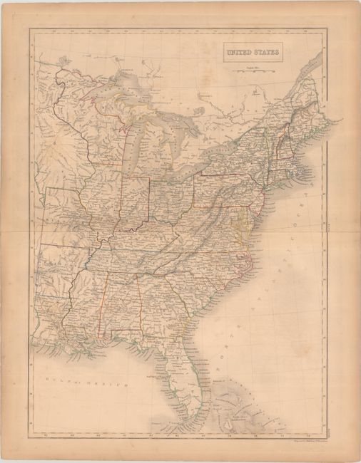
Subject: Eastern United States

Period: 1840 (circa)

Publication: Black's General Atlas

Color: Hand Color

Size:
15.3 x 19.8 inches
38.9 x 50.3 cm
Download High Resolution Image
(or just click on image to launch the Zoom viewer)

This interesting map comes from an early edition of the Black atlas. It extends past the Mississippi to show Louisiana, Arkansas, Missouri, and an Iowa Territory that extends to the Canadian border. Wisconsin Territory features an odd western boundary that follows the Mississippi River above Ft. S. Anthony and ends at Lake of the Woods. Very detailed with hundreds of small roads and villages shown. Engraved by Sidney Hall.

References: cf. Rumsey #2305.

Condition: B

Contemporary outline color on a moderately toned sheet with some light offsetting. The sheet's edges are reinforced with tape on verso.

Estimate: $110 - $140

Sold for: $40

Closed on 4/24/2024

Archived