Catalog Archive
Auction 197, Lot 105

"A New Map of the Province of Quebec in North America; Drawn from the Best Authorities", Kitchin, Thomas

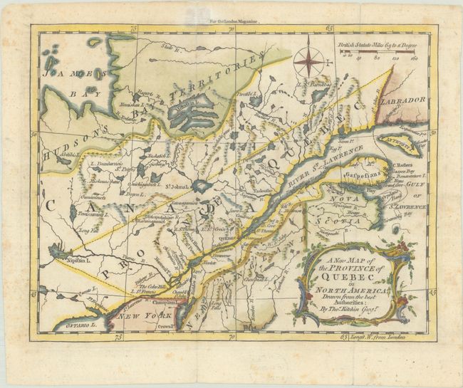
Subject: Colonial Northeastern United States & Canada

Period: 1764 (published)

Publication: London Magazine

Color: Hand Color

Size:
8.7 x 6.8 inches
22.1 x 17.3 cm
Download High Resolution Image
(or just click on image to launch the Zoom viewer)

This early map of the province of Quebec is centered on the St. Lawrence River and extends west to James Bay and Lake Ontario. Settlements are confined along the St. Lawrence River, although there is good detail of the other rivers and lakes in the region. Hudson's Bay Territory is labeled to the northwest. Adorned with a lovely rococo cartouche and a compass rose.

References: Jolly #LOND-241; Sellers & Van Ee #582.

Condition: B+

A nice impression issued folding, now flat, with light foxing. There is a small stain and a short fold separation that has been closed with archival tissue, both of which just enter map border at top.

Estimate: $220 - $250

Sold for: $160

Closed on 4/24/2024

Archived