Catalog Archive
Auction 196, Lot 685
"[Lot of 18 - Maps and Views of Western Africa]", Churchill, John
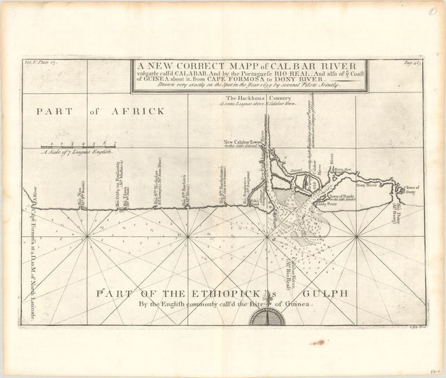
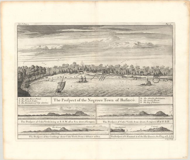
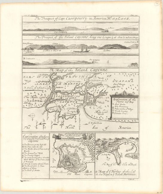
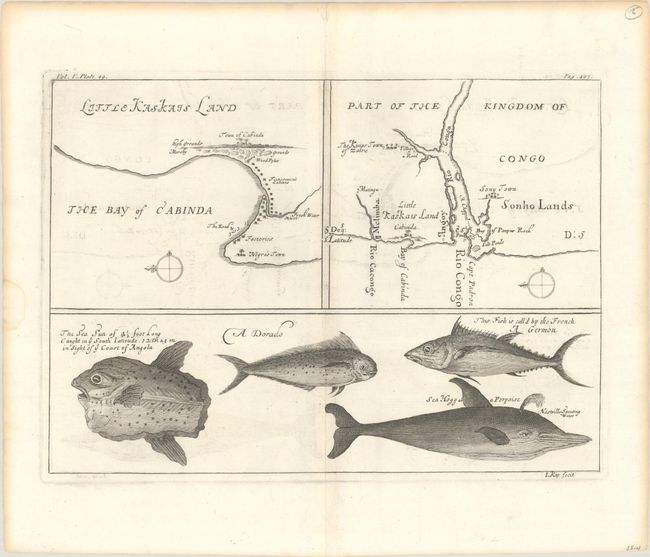
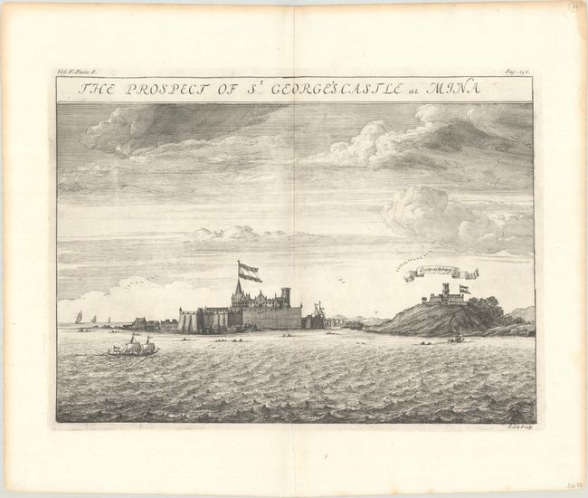
Subject: Western Africa
Period: 1732 (circa)
Publication: A Collection of Voyages and Travels...Volume V
Color: Black & White
Size:
14.8 x 9.8 inches
37.6 x 24.9 cm
Download High Resolution Image
(or just click on image to launch the Zoom viewer)
(or just click on image to launch the Zoom viewer)