Catalog Archive
Auction 196, Lot 447
NO RESERVE
"[Untitled - English Channel, Northern France & Low Countries]", Janvier, Jean
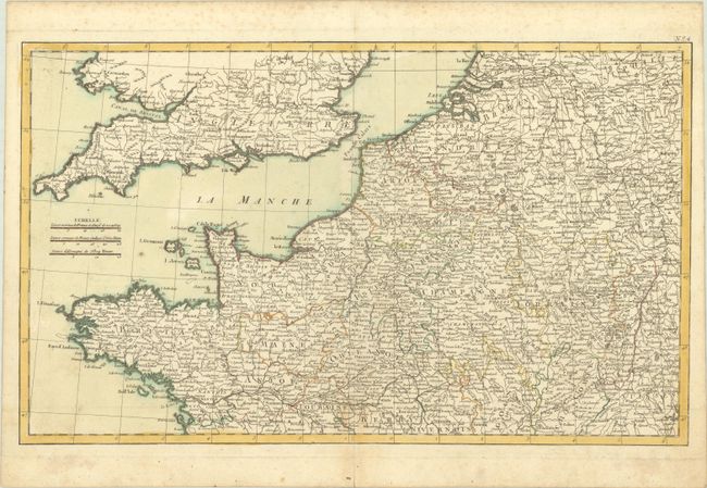
Subject: English Channel & Western Europe
Period: 1762 (circa)
Publication: Atlas Moderne
Color: Hand Color
Size:
19.9 x 12 inches
50.5 x 30.5 cm
Download High Resolution Image
(or just click on image to launch the Zoom viewer)
(or just click on image to launch the Zoom viewer)