Catalog Archive
Auction 196, Lot 393
"A Map of England and Wales from the Latest Authorities and Observations", Blair, Rev. John
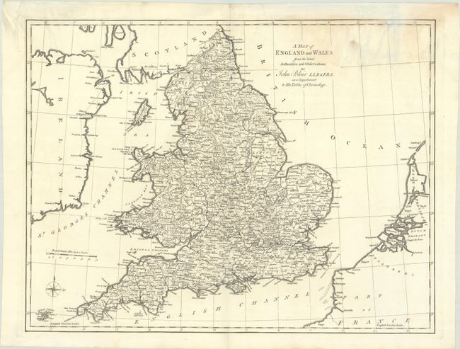
Subject: England & Wales
Period: 1773 (circa)
Publication: The Chronology and History of the World...
Color: Black & White
Size:
21.9 x 16.9 inches
55.6 x 42.9 cm
Download High Resolution Image
(or just click on image to launch the Zoom viewer)
(or just click on image to launch the Zoom viewer)