Catalog Archive
Auction 196, Lot 370
"Carte de l'Europe", Delisle/Dezauche
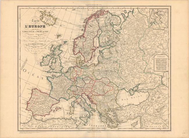
Subject: Europe
Period: 1827 (dated)
Publication:
Color: Hand Color
Size:
24.6 x 20.1 inches
62.5 x 51.1 cm
Download High Resolution Image
(or just click on image to launch the Zoom viewer)
(or just click on image to launch the Zoom viewer)