Catalog Archive
Auction 196, Lot 365
"Europa", Solinus, Caius Julius
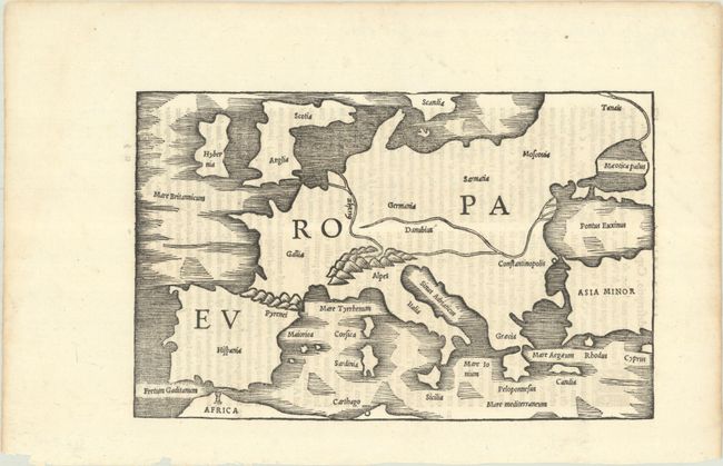
Subject: Europe
Period: 1538 (published)
Publication: C. Iulii Solini Polyhistor...
Color: Black & White
Size:
9 x 5.8 inches
22.9 x 14.7 cm
Download High Resolution Image
(or just click on image to launch the Zoom viewer)
(or just click on image to launch the Zoom viewer)