Catalog Archive
Auction 196, Lot 295
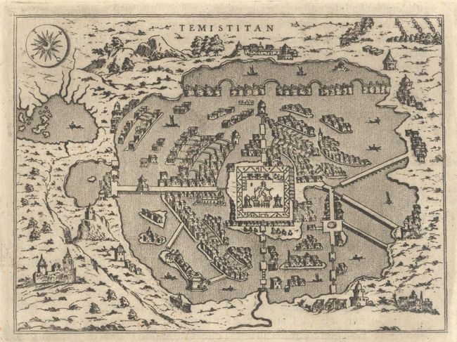
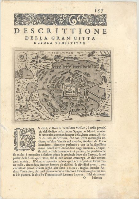
"Temistitan", Porcacchi, Tomaso
1 of 2
Subject: Mexico City, Mexico
Period: 1620 (published)
Publication: L'Isole piu Famose del Mondo
Color: Black & White
Size:
5.6 x 4.1 inches
14.2 x 10.4 cm
Download High Resolution Image
(or just click on image to launch the Zoom viewer)
(or just click on image to launch the Zoom viewer)