Catalog Archive
Auction 196, Lot 177
NO RESERVE
"Texas, New Mexico & Indian Territory, with Environs of Chicago & New Orleans", Bartholomew, John
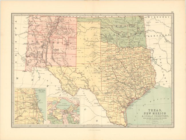
Subject: South Central United States
Period: 1873 (circa)
Publication:
Color: Printed Color
Size:
16.3 x 11.4 inches
41.4 x 29 cm
Download High Resolution Image
(or just click on image to launch the Zoom viewer)
(or just click on image to launch the Zoom viewer)