Catalog Archive


Auction 195, Lot 300
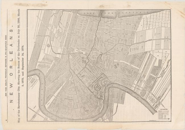
"New Orleans. Map of the Revolutionary City, Showing the Scenes of the Outbreaks on July 30, 1866, March 5, 1873, and September 14, 1874", Fisk & Russell

Subject: New Orleans, Louisiana, Reconstruction
Period: 1874 (published)
Publication: New York Herald
Color: Black & White
Size:
18 x 14.1 inches
45.7 x 35.8 cm
Download High Resolution Image
(or just click on image to launch the Zoom viewer)
(or just click on image to launch the Zoom viewer)