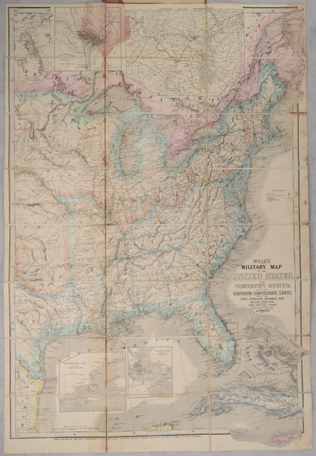
"Wyld's Military Map of the United States, the Northern States, and the Southern Confederate States: with the Forts, Harbours, Arsenals, and Military Positions", Wyld, James
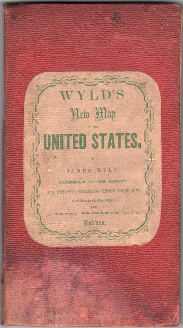
This is a colorful and detailed map of the United States east of the 100th meridian issued to illustrate the theater of the American Civil War for the British public. It displays a good portion of Texas including San Antonio and extends to show most of Cuba along with large insets of the City of Washington and District of Columbia,Country Round Washington,Pensacola Bay and its Fortifications, and Charleston and the Harbour. Blue outlines indicate the "slave states." The map is filled with detail of roads, cities, watershed, arsenals, forts & military posts and railways. Chippewa is shown as a separate entity north of Dacota. Dissected and mounted on linen. Folds into red-cloth covered boards with printed title label on front cover and advertisements of other maps for sale on the inside front cover.
James Wyld was a prominent British publisher who specialized in producing maps that illustrated regions of the world and political events that were of particular interest to the British public. While Britain was officially neutral throughout the Civil War, there was a great amount of sympathy for the Confederate cause and a countervailing sentiment against slavery. This map was issued at a time when there was a great debate in Britain concerning recognition of the Confederacy.
References: Stephenson #19.
Condition: B
There are dampstains that are mostly visible in the inset of DC, below the inset of Pensacola Bay, and along the right side of the sheet. The map is detached from the linen in a few spots. The covers are soiled and dampstained.