Catalog Archive
Auction 192, Lot 460
"Plan du Cours de la Seine dans la Traversee de Paris...", Buache, Philip
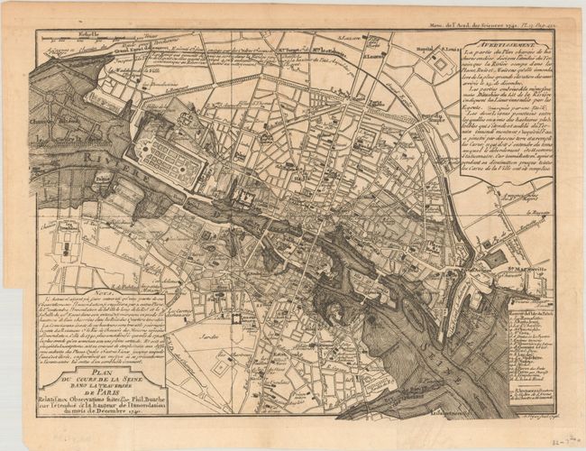
Subject: Paris, France
Period: 1746 (dated)
Publication:
Color: Black & White
Size:
11.2 x 8.3 inches
28.4 x 21.1 cm
Download High Resolution Image
(or just click on image to launch the Zoom viewer)
(or just click on image to launch the Zoom viewer)