Catalog Archive
Auction 192, Lot 331
NO RESERVE
"West Indies", Walker, John
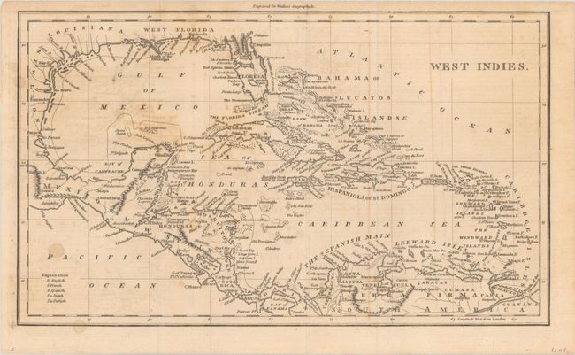
Subject: Gulf of Mexico & Caribbean
Period: 1795 (circa)
Publication: Elements of Geography...
Color: Black & White
Size:
12.4 x 7.3 inches
31.5 x 18.5 cm
Download High Resolution Image
(or just click on image to launch the Zoom viewer)
(or just click on image to launch the Zoom viewer)