Catalog Archive
Auction 192, Lot 176
NO RESERVE
"Map of Delaware, Maryland, Virginia, West Virginia, North Carolina, Kentucky, Tennessee Ohio and Indiana", Williams, J. David
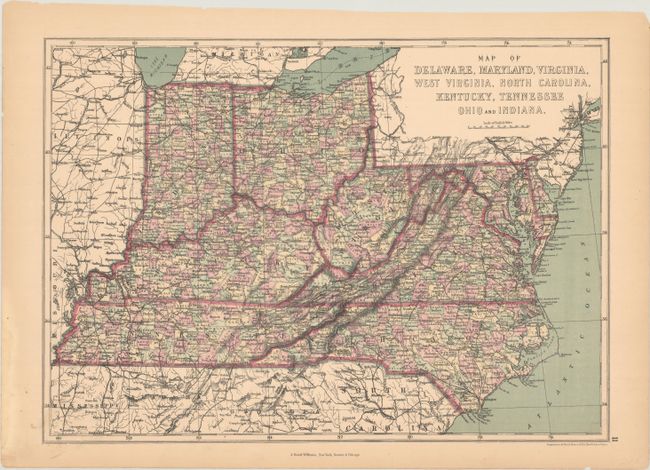
Subject: Mid-Atlantic & Central United States
Period: 1873 (circa)
Publication: The Peoples' Pictorial Atlas
Color: Printed Color
Size:
17.1 x 12.2 inches
43.4 x 31 cm
Download High Resolution Image
(or just click on image to launch the Zoom viewer)
(or just click on image to launch the Zoom viewer)