Catalog Archive
Auction 191, Lot 849

NO RESERVE

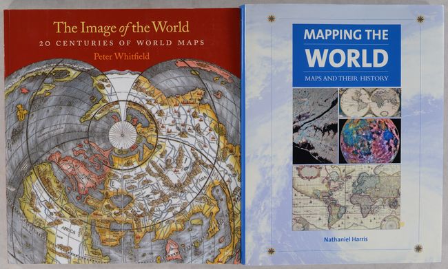
"[Lot of 2] The Image of the World - 20 Centuries of World Maps [and] Mapping the World - Maps and Their History ",

Subject: References, World

Period: 2002-10 (published)

Publication:

Color: Printed Color

Size:
See Description
Download High Resolution Image
(or just click on image to launch the Zoom viewer)

A. The Image of the World - 20 Centuries of World Maps, by Peter Whitfield, published 2010 (10.3 x 11.3"). This is the updated edition of this fabulous overview of the history of world maps, now with 70 illustrations of important maps, nearly all in color. There is a lengthy and informative essay centered on each illustrated map. 144 pages. Soft illustrated covers.

B. Mapping the World - Maps and Their History, by Nathaniel Harris, published 2002 (8.8 x 11.4"). This chronicle of cartographic history focuses on more than 70 maps, starting with a Babylonian world map from the sixth century B.C. and culminating in an aerial snapshot of Manhattan from 1996. The book is copiously illustrated with approximately 300 illustrations, most in color. 304 pages. Hardbound in illustrative paper boards with dust jacket.

References:

Condition: A+

Like new.

Estimate: $25 - $40

Sold for: $39

Closed on 2/8/2023

Archived