Catalog Archive
Auction 191, Lot 844

NO RESERVE

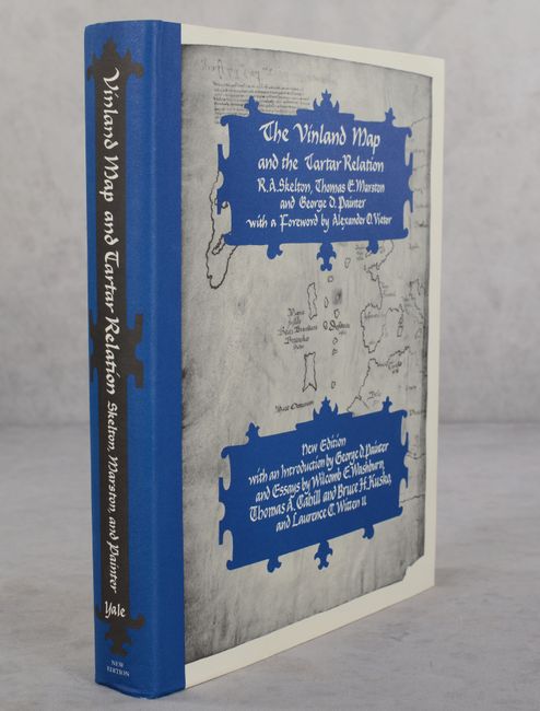
"The Vinland Map and the Tartar Relation", Skelton, Marston and Painter

Subject: References, Vinland Map

Period: 1995 (published)

Publication:

Color: Printed Color

Size:
9.3 x 11.8 inches
23.6 x 30 cm
Download High Resolution Image
(or just click on image to launch the Zoom viewer)

This is the new edition of Skelton, Marston, and Painter's 1965 work on the Vinland Map, with a new introduction by George Painter and essays by Wilcomb Washburn, Thomas Cahill, Bruce Kusko and Laurence Witten, II. The Vinland Map is reputed to be the only pre-Columbian map showing Norse discoveries in America. The claim is that if this part of the map originated in the North, and probably in Iceland, it represents the only surviving medieval example of Norse cartography. Painter's new introduction presents scientific and humanistic evidence of the map's authenticity (now of course debunked after the map was officially declared a forgery in 2018), while the new essays focus on the map's provenance, the tests that have been performed on it, and its compositional and structural aspects. Also included is an account by the rare-book dealer who sold the map. 291 pages plus 65 pages of new material with 9 figures (maps) and 4 color plates, plus a large folded map (figure 1), 19 plates (3 large folded), and 26 pages of the facsimile of the original manuscript.

References:

Condition: A+

Like new.

Estimate: $25 - $35

Sold for: $28

Closed on 2/8/2023

Archived