Catalog Archive
Auction 191, Lot 664
"Asia", Mercator/Hondius
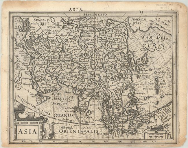
Subject: Asia
Period: 1610 (circa)
Publication: Atlas Minor
Color: Black & White
Size:
7.7 x 6.1 inches
19.6 x 15.5 cm
Download High Resolution Image
(or just click on image to launch the Zoom viewer)
(or just click on image to launch the Zoom viewer)