Catalog Archive
Auction 191, Lot 633

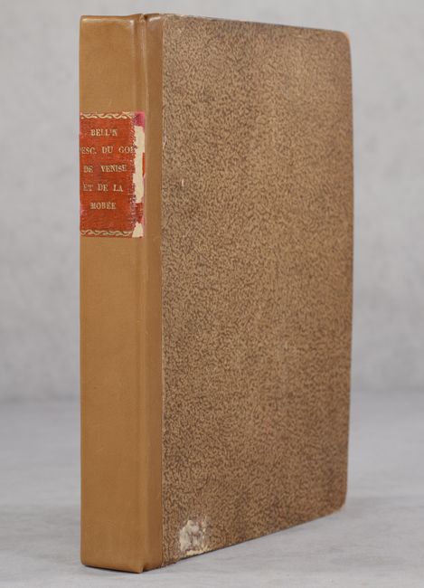
Bellin's Complete Work on the Adriatic Sea and the Western Coasts of Greece

"Description Geographique du Golfe de Venise et de la Moree...", Bellin, Jacques Nicolas

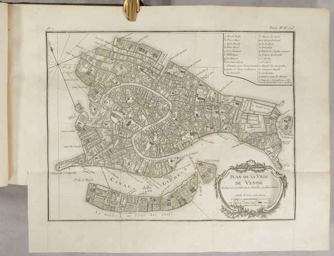
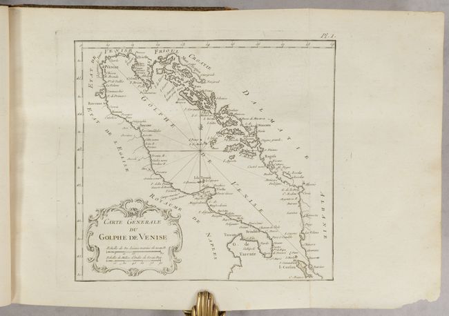
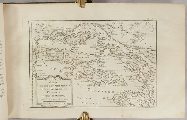
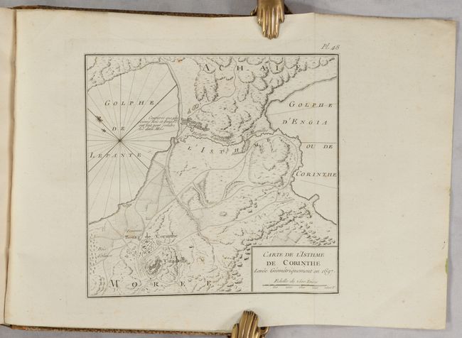
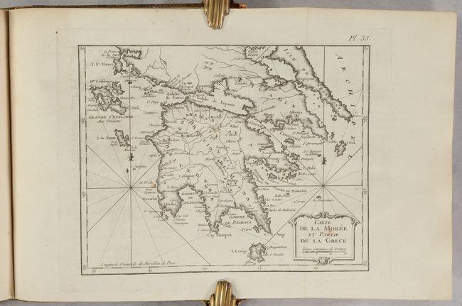
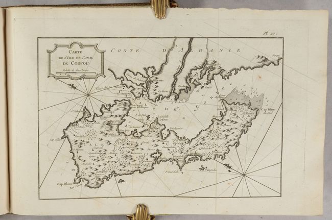
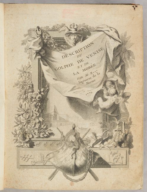
Subject: Adriatic Sea & Ionian Sea

Period: 1771 (published)

Publication:

Color: Black & White

Size:
8.1 x 10.5 inches
20.6 x 26.7 cm
Download High Resolution Image
(or just click on image to launch the Zoom viewer)

This is Bellin's work on the Adriatic Sea and the western coasts of Greece (despite the misnomer in the title), complete with 49 maps and plans, 14 of which are folding. The maps and plans focus on the coasts and ports along the Adriatic Sea, as well as portions of Greece, including Morea, the Gulf of Corinth, and several islands in the Ionian Sea. When this volume was published, these areas were poorly known in France, and Bellin's work represented the best available knowledge at the time. This example includes the lovely frontispiece, illustrated by Arrivet, which is commonly missing. The engraving shows a putto holding up a drape to expose a framed view of Venice, surrounded by imagery of a ship, jewels, and papal symbols. Quarto. Frontispiece; title page; preface; table of contents; 235 pp.; 49 maps and plans. Hardbound in quarter tan leather over marbled paper-covered boards with red leather title label on spine.

References: Shirley (BL Atlases) T.BELL-5a.

Condition: B+

The maps range in condition from excellent (A) to very good (B+) with occasional offsetting, light toning, and scattered foxing. The text has occasional foxing. The frontispiece is foxed and soiled and there are several old library stamps on the title page. There is an old bookplate from the Kaiserlich-Königliches Militär-Geographisches Institut on the inside front cover. The covers have bumped corners and several abrasions. The leather spine appears new with the original title label added onto it, which is quite worn.

Estimate: $2,000 - $2,300

Unsold

Closed on 2/8/2023

Archived