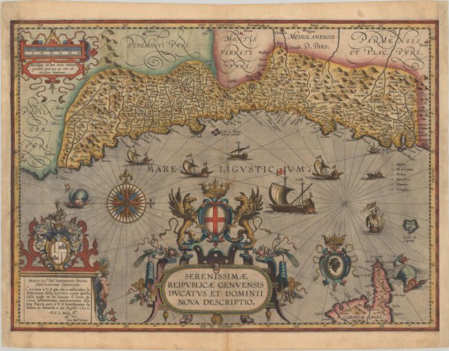
This map was among the additions made by Jan Baptista Vrients when he took over publication of the Theatrum after Ortelius' death. It was published only in the last four editions and is therefore quite scarce, with an estimated 925 examples printed according to Van den Broecke. Vrients based this map in part on the work of Giovanni Antonio Magini, who published a map of east Liguria and a map of west Liguria in 1597. Vrients' map was the first to focus on the entire region of Liguria, and subsequently became the model for all Dutch cartographers of the 17th century. The map shows the coastline from Nice, France and Monaco in the west to La Spezia and Massa in the east. Keeping with Vrients' ornate style, the map is lavishly decorated with cartouches, sailing ships, sea monsters, and a compass rose. The cartouche at bottom left dedicates the map to Sig.r Antonioto Sivori, a Genoese gentleman. Spanish text on verso, published in 1609, 1612 or 1641.
References: Van den Broecke #126.
Condition: B+
Excellent impression on a sheet with the watermarks of a horn and a small coat of arms. There is light soiling and grid lines have been added in old manuscript ink. There are professional repairs to a short centerfold separation at bottom and a small hole in the bottom border. The sides of the sheet have been professionally remargined, with part of the border skillfully replaced in facsimile.