Catalog Archive
Auction 191, Lot 595
"Tabula Hungaria et Regionum, quae Praeterea ab ea Dependent, Delineata Juxta Magnum Numerum Anotationum et Mappas Manuscriptas vel Impresas...", Lotter, Tobias Conrad
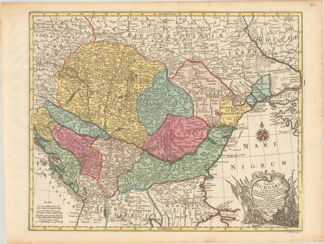
Subject: Southeastern Europe, Hungary
Period: 1770 (circa)
Publication:
Color: Hand Color
Size:
23.3 x 18.7 inches
59.2 x 47.5 cm
Download High Resolution Image
(or just click on image to launch the Zoom viewer)
(or just click on image to launch the Zoom viewer)