Catalog Archive
Auction 191, Lot 491
"La Plus Grande Partie de la Manche, qui Contient les Cotes de Angleterre (Situees au Sud-Est, ou est la Tamise &c.)...", Ottens, Reiner and Joshua
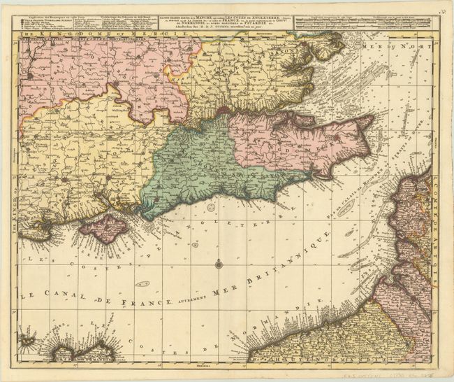
Subject: English Channel
Period: 1730 (circa)
Publication:
Color: Hand Color
Size:
23.3 x 19.3 inches
59.2 x 49 cm
Download High Resolution Image
(or just click on image to launch the Zoom viewer)
(or just click on image to launch the Zoom viewer)