Catalog Archive
Auction 191, Lot 478
"Magnae Britanniae Pars Meridionalis, in qua Regnum Angliae tam in Septem Antiqua Anglo-Saxonum Regna quam in Omnes Hodiernas Regiones Accurate Divisum hic Ostenditur...", Homann, Johann Baptist
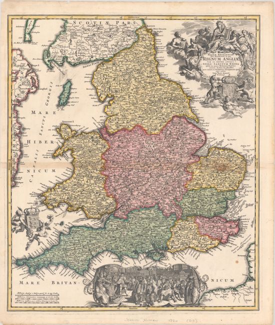
Subject: England & Wales
Period: 1730 (circa)
Publication:
Color: Hand Color
Size:
19 x 22.3 inches
48.3 x 56.6 cm
Download High Resolution Image
(or just click on image to launch the Zoom viewer)
(or just click on image to launch the Zoom viewer)