Catalog Archive
Auction 191, Lot 379

"An Accurate Map of the West Indies with the Adjacent Coast of America", Reid, John
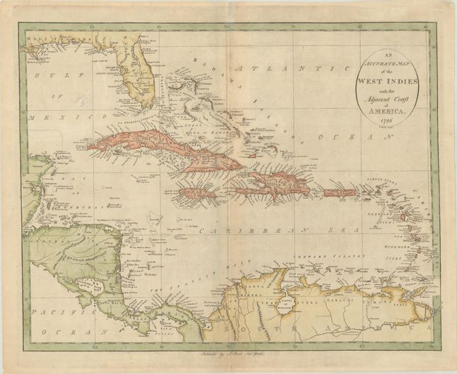
Subject: Caribbean

Period: 1796 (dated)

Publication: The American Atlas

Color: Hand Color

Size:
17.6 x 13.9 inches
44.7 x 35.3 cm
Download High Resolution Image
(or just click on image to launch the Zoom viewer)

This rare map of the region includes East and West Florida, the Mississippi Delta, Central America, and the northern coastline of South America. It was one of the earliest maps of the West Indies published in the United States, from the second atlas ever printed in America. Based on John C. Russell's 1794 map published in William Winterbotham's An Historical, Geographical, Commercial and Philosophical View of the American United States, it features some nice topographical detail and shoals, banks, and hazards in the waters. The map is packed with detail including many of the smallest islands. Engraved by D. Martin.

References: Phillips (Atlases) #1216-20; Wheat & Brun #697.

Condition: B+

A nice impression on a lightly toned sheet with the watermark of "J. Honig & Zoonen." There are a few centerfold separations that have been repaired on verso with archival materials.

Estimate: $275 - $350

Sold for: $200

Closed on 2/8/2023

Archived