Catalog Archive
Auction 191, Lot 167

"The United States of America", Payne, John

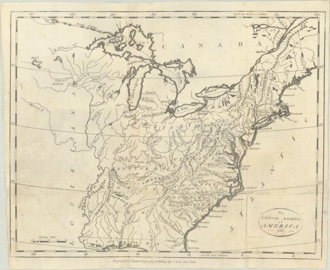
Subject: Eastern United States

Period: 1800 (circa)

Publication: A New and Complete System of Universal Geography

Color: Black & White

Size:
12.1 x 9.6 inches
30.7 x 24.4 cm
Download High Resolution Image
(or just click on image to launch the Zoom viewer)

This map of the young United States covers the region from Maine to northern Florida and west to the Mississippi River. Georgia's western boundary extends to include present-day Alabama and Mississippi. A large N.W. Territory stretches from Minnesota to Ohio. Several spurious islands are located in Lake Superior including I. Royal. Vermont is not named. Inland detail is limited to rivers, topography and some place names. This map was published in the American edition of Payne's Geography, printed and sold by John Low in New York.

References: McCorkle (18th C. Geography Books) #330, Vol. IV [2].

Condition: B+

Issued folding and now flat with professional repairs to several fold separations. There is some minor soiling and a hint of toning along one fold.

Estimate: $350 - $425

Unsold

Closed on 2/8/2023

Archived